Anna Otto · 10 September 2026
Precision Optics Uncovering Hidden Patterns in Coastal Wetland Recovery
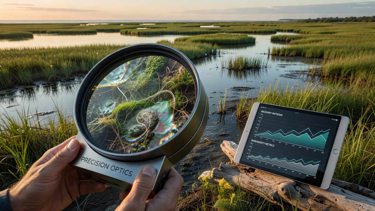
Researchers apply precision optics systems to detect subtle variations in vegetation density, sediment deposition, and water flow dynamics across coastal wetlands that standard monitoring overlooks, and these technologies combine high-resolution multispectral imaging with LiDAR to map recovery trajectories after events like storms or pollution incidents. Data from multiple field deployments show that optical sensors capture spectral signatures indicating plant stress levels weeks before visible changes appear, while also revealing underground root networks through near-infrared analysis that traditional surveys cannot access.
Core Technologies Driving Observations
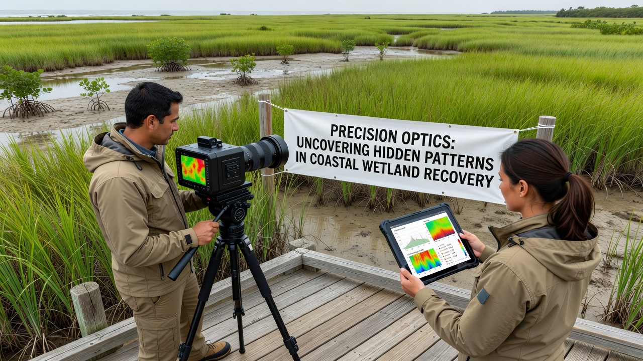
Advanced optical instruments operate from drones, satellites, and fixed towers to collect layered datasets, and these setups integrate hyperspectral cameras capable of distinguishing hundreds of wavelength bands with ground-penetrating radar elements that expose hidden hydrological patterns. Studies conducted by teams in North America and Europe demonstrate that such combined systems achieve spatial resolutions below ten centimeters, allowing analysts to track individual plant species responses across large marsh expanses. Equipment calibration routines ensure consistent readings despite tidal fluctuations and atmospheric interference, while machine learning algorithms process the resulting volumes of imagery to isolate recurring motifs in recovery sequences.
Documented Patterns in Restoration Sites
Observations from restored sites along the Atlantic and Pacific coasts reveal repeating cycles where initial sediment accumulation precedes rapid colonization by pioneer grasses, and precision optics data further indicate that micro-topographic features created during restoration accelerate biodiversity return by creating varied moisture zones. In one documented case from the Gulf Coast region, optical surveys identified isolated pockets of higher salinity that slowed overall regrowth until targeted interventions adjusted drainage channels. Australian researchers using similar tools recorded parallel sequences in mangrove systems, where canopy gap patterns detected through canopy-penetrating wavelengths correlated strongly with fish population rebounds measured by independent surveys.
September 2026 Data Releases and International Coordination
In September 2026, coordinated releases from agencies across multiple continents presented synchronized findings that linked optical pattern detection to improved restoration success rates, and these reports compiled multi-year datasets showing measurable increases in wetland area stability when interventions aligned with the hidden patterns identified through precision methods. Canadian and European programs contributed complementary datasets focused on boreal and temperate wetland types respectively, highlighting how seasonal light variations affect optical readings and necessitating adjusted algorithms for different latitudes. The combined evidence points to standardized protocols emerging that allow cross-regional comparisons of recovery metrics without requiring physical site visits for every monitoring interval.
Integration with Broader Environmental Monitoring
Precision optics outputs feed directly into larger climate models and habitat suitability projections, and agencies such as NOAA incorporate these refined wetland maps to update flood risk assessments for adjacent communities. Parallel efforts by the Australian Department of Climate Change, Energy, the Environment and Water apply comparable optical techniques to evaluate blue carbon storage potential in restored areas, revealing that certain spectral patterns predict higher carbon sequestration efficiency. These integrations demonstrate how localized optical discoveries scale to inform regional policy decisions on coastal defense and biodiversity targets.
Challenges in Data Interpretation
Variable weather conditions and seasonal vegetation shifts introduce noise into optical datasets, yet researchers mitigate these factors through repeated sampling schedules and cross-validation with acoustic sensors that measure water movement independently. Training datasets for pattern recognition software require careful curation from verified recovery sites to avoid misclassification of natural variability as restoration signals, adn ongoing refinements continue to improve accuracy across diverse wetland types. Geographic differences in tidal ranges and species composition further demand region-specific calibration, which international working groups address through shared reference libraries updated periodically.
Future Applications and Scaling Potential
Expansion of precision optics networks to additional coastlines relies on cost reductions in sensor platforms and improved data transmission infrastructure, while pilot programs test autonomous buoy-mounted systems that deliver continuous readings from remote locations. Evidence gathered thus far supports broader adoption where restoration budgets allow for initial technology investment, since long-term savings arise from more targeted maintenance activities guided by early pattern detection. Collaborative frameworks established among research institutions facilitate technology transfer to regions with limited prior access to such tools, accelerating global understanding of wetland dynamics.
Conclusion
Precision optics continue to expose layered recovery processes within coastal wetlands through systematic collection and analysis of spectral and structural data, and the patterns identified support more precise restoration planning across varied geographic settings. Ongoing refinements in sensor capabilities and analytical methods maintain momentum toward comprehensive monitoring frameworks that integrate optical insights with complementary environmental indicators.